Geotechnical Instrumentation Works. Established
in year 2020.
- GEOTECHNICAL INSTRUMENTATION
Geotechnical Instrumentation & Monitoring is vital to urban development. Accurate and precise monitoring scheme is only solution to mitigate the risk induced by construction activities. Traditional type like mechanical and electrical based sensors to latest technology-based Satellite Monitoring (InSAR) available to our clients.

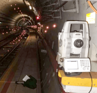
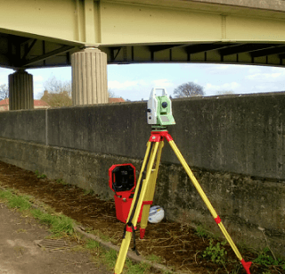
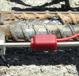
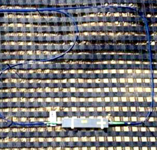
Ground & Structure Monitoring
- Inclinometer
- Electrolytic Level Sensor
- Tilt meter
- Settlement Marker / Settlement Plate / Deep Settlement Gauge
- Multi-level Settlement Devices
- Convergence & Divergence Measurement of Structure
- 3D measurement of Structure & Tunnel by Robotic Systems
It is provided for any of Private or Infrastructure Development to track and monitor adjacent ground / structure stability.


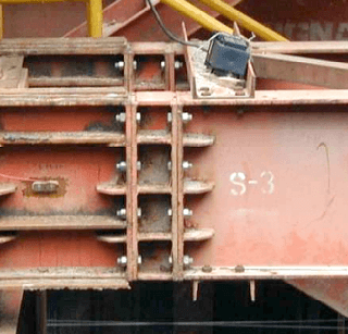
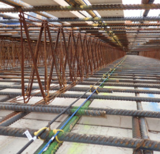
Temporary Structure Monitoring
- Strain Gauge
- Load Cell
- Earth Pressure Cell
- Crack meter
It is provided particularly to excavation works of either simple building basement or Infrastructure like MRT station construction. Instruments are mounted on key structural elements of temporary supporting system to track and monitor adjacent ground and structure stability.


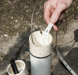
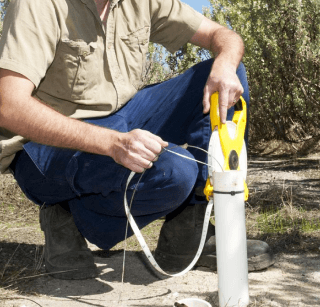
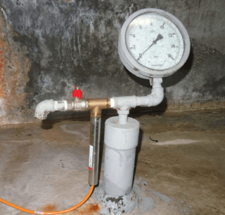
Ground Water Monitoring
- Water Standpipe
- Piezometer
Ground water condition is vital for Construction Team to analyze and prevent water draw-down.


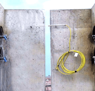
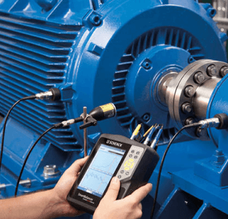
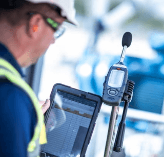
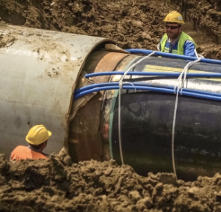
Construction Hazard Monitoring
- Vibration Monitoring
- Noise Monitoring


Dynamic Mode of Monitoring
- Fibre Optic Sensor
When Structures like road, bridge, building, airport runway require constant and dynamic kind (sensing up to thousands time within a second) of monitoring, Distributed or Partially Distributed or non-Distributed Fibre Optic sensors are the only option to deployed.


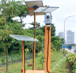
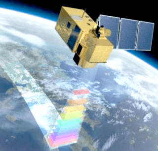
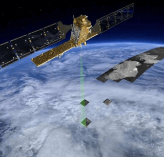
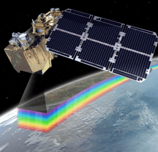
Remote Satellite Monitoring
- InSAR Satellite Monitoring
Thanks to latest technology, any deformation to ground, road, building and bridge from Global scale to localize area can be monitored or detect as close as millimeter accuracy and precision. The best part of the service is not required to visit the site and not depending on the weather. Satellites will monitor while orbiting the earth. One unique feature is that deformation record can be tracked 20 years back.


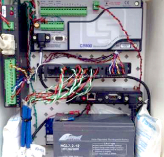
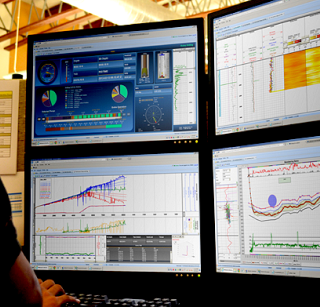
Cloud base Data Management Service
- Data automatic Logging and Monitoring System
- Wireless Remote Monitoring System
- Real Time Monitoring and Cloud Based Data Management System
Today technology has given Geotechnical Field far-advanced Reporting and Database management system. No more stack of hard copy report like ever before. Everything is on Cloud and accessible through Internet.

